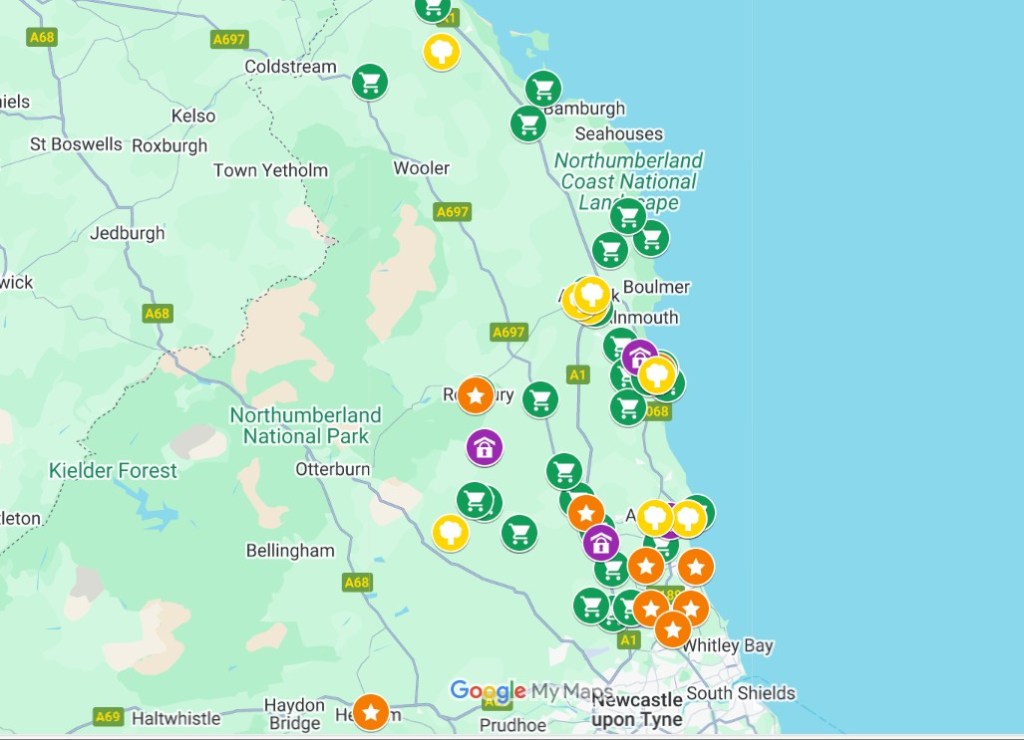
A new interactive map showing community orchards, food banks, local produce outlets and other food related initiatives has recently been created by NGH, covering the north and parts of the south east of the county.
The map highlights the wide range of food being produced by farmers and other producers within Northumberland, and the range of charities, community groups and associations running food related projects.
The map is available on the Community Food page. Just click on the Interactive Map button and then click on an individual icon to find out the details. You can also use the black ‘slider’ icon in the top left corner to select for example ‘community orchards only’ or just ‘farmers markets and farm shops’.
It is an ongoing project and users can complete a short form to share details of new locations. Why not take a look – you might be surprised at just how much is going on!

Leave a comment